


Technology & Space News
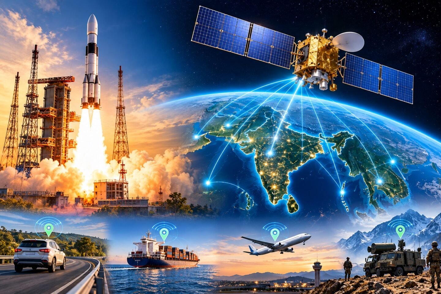
India has achieved another significant milestone in its space programme as the Indian Space Research Organisation (ISRO) successfully placed its next-generation navigation satellite, NVS-03, into orbit. The launch marks an important development in strengthening NavIC, India’s indigenous satellite navigation system and regional alternative to the American Global Positioning System (GPS).
The satellite was launched aboard the GSLV-F18 rocket from the Second Launch Pad at the Satish Dhawan Space Centre in Sriharikota at 11:51 PM IST on October 30, 2026. The mission successfully placed the approximately 2,250-kg satellite into its intended Geosynchronous Transfer Orbit (GTO).
The launch represents the 20th flight of India’s Geosynchronous Satellite Launch Vehicle (GSLV) and another important step towards improving the reliability and independence of India’s navigation infrastructure.
What Is NVS-03 and Why Is It Important?
NVS-03 is the third satellite in ISRO’s second-generation Navigation with Indian Constellation (NavIC) satellite series.
NavIC, previously known as the Indian Regional Navigation Satellite System (IRNSS), is India’s own satellite-based navigation network developed to provide positioning, navigation and timing services.
Similar to GPS, NavIC helps determine the location, speed and timing of users through signals transmitted by satellites orbiting Earth.
The system is designed to provide coverage across the Indian mainland and approximately 1,500 kilometres beyond the country’s geographical boundaries.
NVS-03 is particularly important because it strengthens the existing satellite constellation, which has experienced operational challenges due to ageing satellites, atomic clock failures and previous replacement mission difficulties.
With the successful placement of NVS-03, India moves closer to restoring the minimum satellite configuration required for independent NavIC positioning services. <Cite refs={[“turn306536search1″,”turn306536search3”]}/>
What Makes NVS-03 Different From Previous Navigation Satellites?
NVS-03 introduces important technological improvements designed to make India’s navigation infrastructure more reliable and compatible with modern electronic devices.
1. Indigenous Atomic Clock Technology
One of the most significant features of NVS-03 is its indigenous atomic clock.
Atomic clocks play a critical role in satellite navigation because they maintain extremely precise time measurements. Navigation systems calculate the distance between satellites and receivers by measuring how long radio signals take to travel.
Even a very small timing error can result in significant location inaccuracies.
Earlier NavIC satellites experienced problems involving atomic clock failures, which affected the overall reliability of the navigation constellation.
By incorporating an indigenously developed atomic clock alongside procured atomic clocks, ISRO is strengthening India’s capabilities in an important navigation technology.
ISRO Chairman Dr V. Narayanan confirmed that NVS-03 carries the third indigenous atomic clock successfully placed in orbit by the organisation.
2. Addition of the L1 Frequency Band
Another major improvement is the inclusion of the L1 frequency band.
Previous NavIC satellites primarily provided navigation signals through the L5 and S-band frequencies. The newer NVS series adds L1, which is widely used by global satellite navigation systems, including GPS.
This development is important because many modern smartphones, smartwatches, navigation receivers and other consumer devices already support the L1 frequency.
The addition of L1 can improve compatibility between NavIC and commonly used navigation hardware, making it easier for device manufacturers to incorporate Indian navigation signals into their products.
It could also support wider adoption of NavIC in wearable technology, vehicle tracking systems and Internet of Things (IoT) devices.
3. Improved Navigation Reliability
The NVS-03 mission is intended to improve the continuity and availability of India’s regional navigation services.
Navigation satellites must work together as a constellation to provide accurate positioning information.
The successful addition of another satellite helps strengthen this network and supports the restoration of standalone NavIC positioning capabilities.
However, successful launch and orbit insertion do not mean that all navigation services become operational immediately. The satellite must complete subsequent orbital manoeuvres, testing and commissioning before its full operational contribution can be assessed.
What Is NavIC? India’s Own Alternative to GPS Explained
NavIC stands for Navigation with Indian Constellation. It is India’s independent regional satellite navigation system developed by ISRO.
The programme was initiated following the experience of the 1999 Kargil conflict, when India faced limitations in accessing foreign satellite navigation assistance for military operations.
This experience highlighted the importance of having an independent navigation system that could serve India’s civilian and strategic requirements without relying entirely on foreign infrastructure.
NavIC was developed to provide two major categories of services:
- Standard Positioning Service (SPS): An open navigation service intended for civilian and commercial users.
- Restricted Service (RS): An encrypted service intended for authorised users, including strategic and security applications.
The system is designed to support applications such as road navigation, vehicle tracking, disaster management, maritime operations, transportation and military positioning.
Unlike GPS, which offers global coverage, NavIC is primarily designed for India and the surrounding region. <Cite refs={[“turn306536search1″,”turn306536search3”]}/>
NavIC vs GPS: What Is the Difference?
Although NavIC and GPS perform similar functions, they differ in their coverage, ownership and intended applications.
| Feature | NavIC | GPS |
|---|---|---|
| Developed by | ISRO, India | United States |
| Coverage | India and approximately 1,500 km beyond its borders | Global |
| Satellite constellation | Designed around 7 primary satellites | Approximately 32 operational satellites |
| Primary purpose | Regional navigation | Global navigation |
| Key applications | Civilian, commercial and strategic | Civilian, commercial and military |
| Frequencies | L1, L5 and S-band | L1, L2 and L5 |
GPS remains one of the world’s most widely used navigation systems. NavIC is not designed to replace GPS globally. Instead, it provides India with an independent regional navigation capability.
Having its own navigation infrastructure also gives India greater control over a critical technology that supports transportation, communication, security and emergency services.
Why Does NVS-03 Matter for India’s Defence and National Security?
Satellite navigation is not limited to finding locations on smartphone maps. It is also an important component of modern defence and national security infrastructure.
Military operations depend on accurate positioning and timing information for navigation, coordination, logistics and other strategic activities.
An independent navigation system reduces the country’s dependence on external satellite networks, particularly during geopolitical tensions or situations in which access to foreign services may be restricted.
NavIC can also support:
- Military positioning and navigation.
- Maritime security and vessel tracking.
- Disaster response and emergency coordination.
- Border monitoring and strategic logistics.
- Precise timing for critical infrastructure.
- Transportation and aviation-related applications.
The development of indigenous atomic clock technology further strengthens India’s ability to develop and maintain important navigation components domestically.
How Will NVS-03 Benefit Ordinary Smartphone Users?
One of the most interesting long-term benefits of NVS-03 could be its impact on everyday consumer technology.
The addition of the L1 frequency creates opportunities for more smartphones and wearable devices to receive NavIC signals.
Potential applications include:
Better navigation compatibility: Devices supporting compatible NavIC frequencies could use India’s navigation signals alongside other satellite systems.
Vehicle tracking: Navigation and fleet-management companies could integrate NavIC into vehicle monitoring and logistics platforms.
Wearable technology: Smartwatches and fitness devices could benefit from additional compatible positioning signals.
Emergency services: More reliable positioning infrastructure can support emergency response, public safety and disaster management applications.
However, the actual benefits will depend on compatible receiver hardware, satellite commissioning and wider adoption by smartphone and device manufacturers.
What Happens After the Successful Launch?
Although GSLV-F18 successfully placed NVS-03 into its intended Geosynchronous Transfer Orbit, the mission does not end with satellite separation.
ISRO must carry out several important activities before the satellite becomes fully operational.
These include:
- Performing orbit-raising manoeuvres to move the satellite towards its designated operational position.
- Checking onboard systems and communication equipment.
- Testing the navigation payload and atomic clock.
- Verifying signal performance and system reliability.
- Completing commissioning before integrating the satellite into the operational NavIC network.
These stages are essential to ensure that the satellite can provide reliable navigation services over its intended coverage area.
India’s Growing Position in the Global Space Technology Race
The NVS-03 mission reflects India’s growing capabilities in satellite manufacturing, launch vehicles, navigation technology and indigenous space research.
Global navigation infrastructure is strategically important, with major powers operating their own systems.
The United States operates GPS, Russia operates GLONASS, China operates BeiDou, and Europe operates Galileo.
India’s NavIC adds another important regional navigation capability to this global ecosystem.
By investing in indigenous navigation satellites, atomic clocks and compatible signal technologies, India is strengthening its position in an increasingly competitive space technology environment.
The successful GSLV-F18 mission also demonstrates ISRO’s continued efforts to improve launch capabilities and deliver critical national infrastructure.